Available homes
Discover the homes currently available across Landcom communities and find the right opportunity to buy with Landcom.
Discover the homes currently available across Landcom communities and find the right opportunity to buy with Landcom.


Discover how Landcom engages with residents, councils and stakeholders to create affordable, sustainable and inclusive communities.
Find out more
Stay up to date with Landcom’s latest industry opportunities, including current tenders, upcoming projects, and ways to work with us.
Find out more Glenfield West Rezoning Proposal to boost new and affordable homes
 Bardia Barracks to support NSW veteran community
 Making new infrastructure happen for North Wilton
 Growing food and density together
 Creating a Spark: Energy Sharing Communities
 Valuing Creative Placemaking Toolkit
'In the Making' will showcase the projects, places and positive impacts we’re delivering across NSW. Explore the first quarterly edition and stay connected as this work evolves.

Explore Landcom’s teams and discover the diverse careers we offer. See how our people work together to create sustainable, inclusive communities.

Discover Landcom’s culture, values and behaviours, and see what makes our workplace inclusive, collaborative and focused on creating real impact.

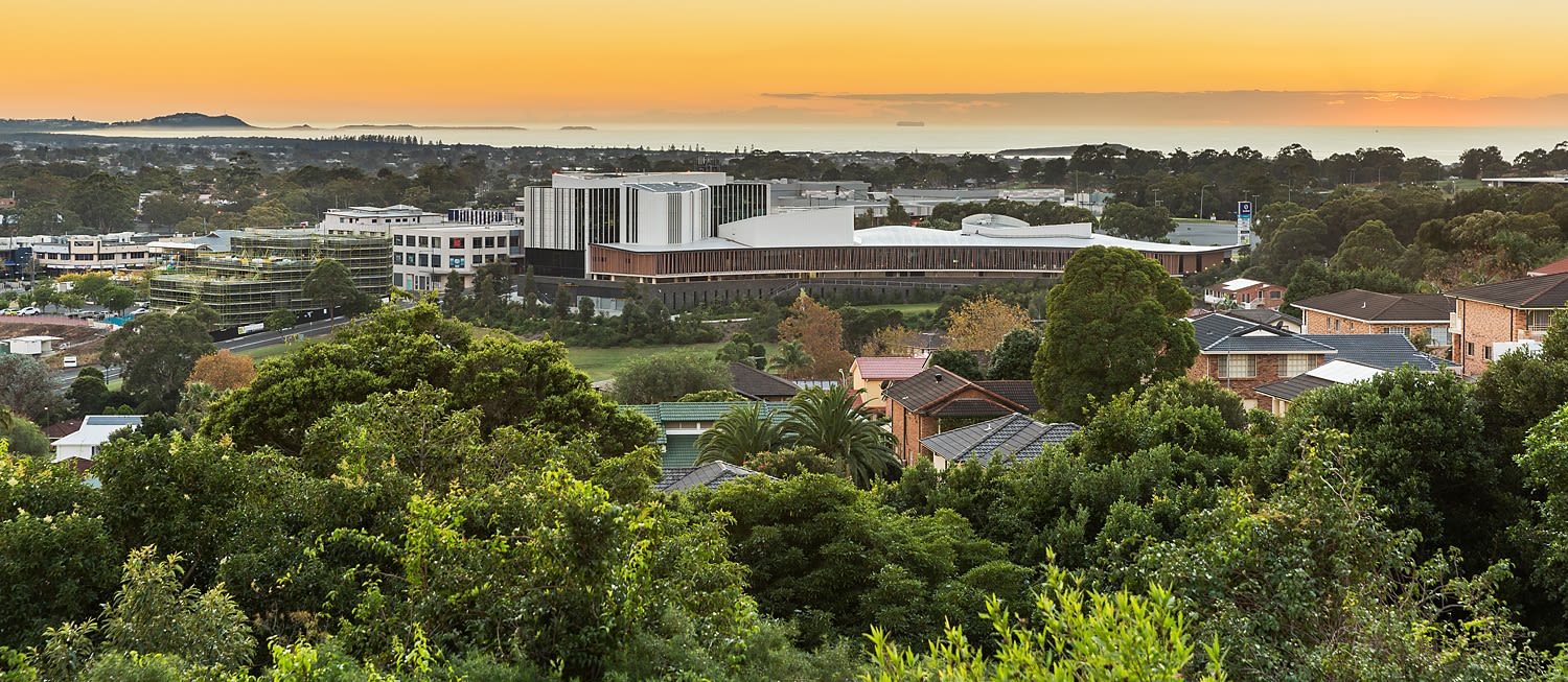
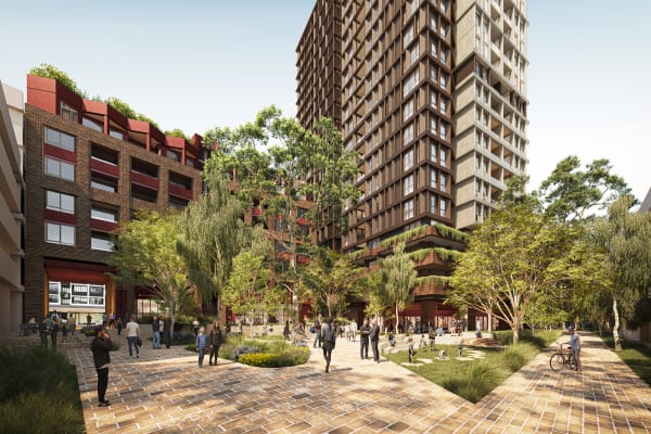
Landcom is the NSW Government’s land and property developer. We work with government to unlock land...

Glenfield West Rezoning Proposal to boost new and affordable homes
Bardia Barracks to support NSW veteran community
Making new infrastructure happen for North Wilton
Lake Macquarie
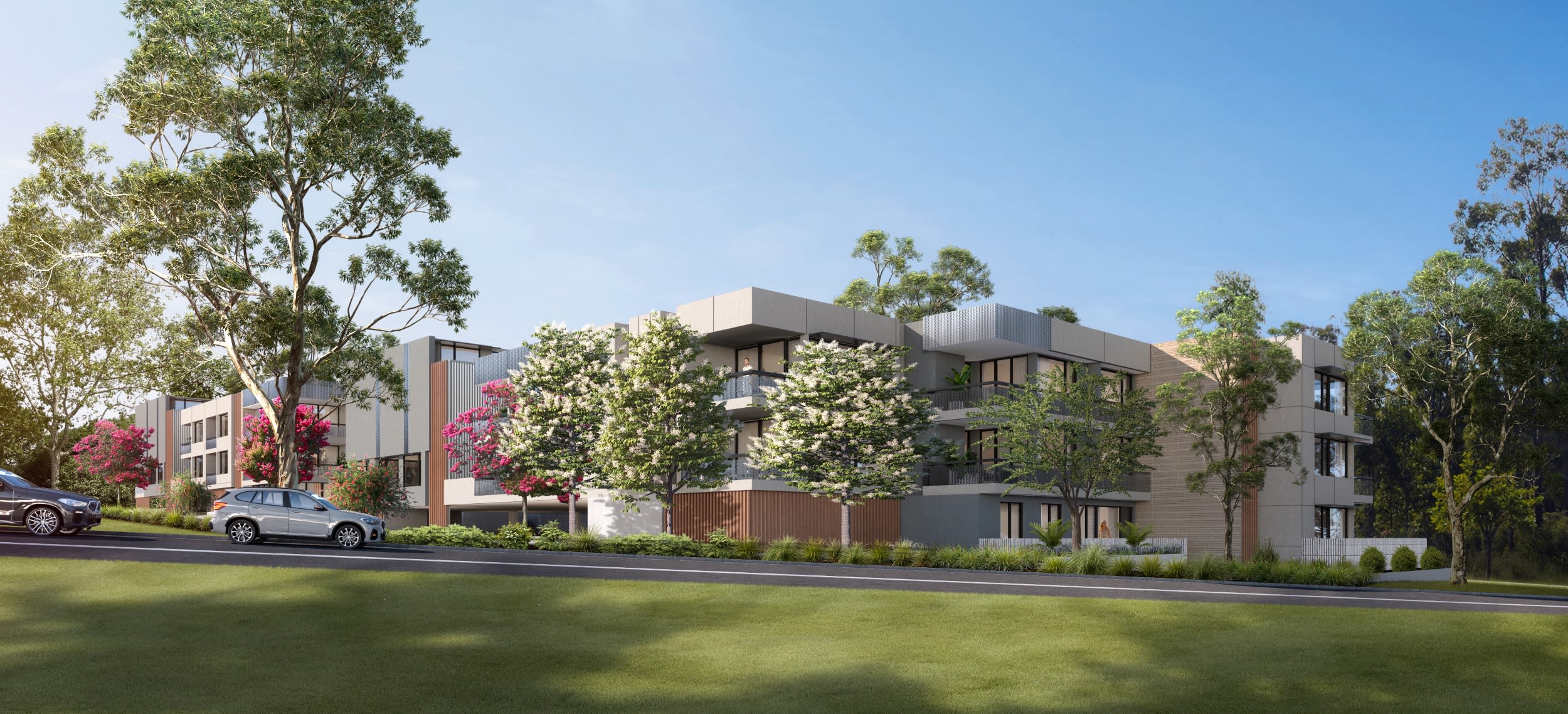
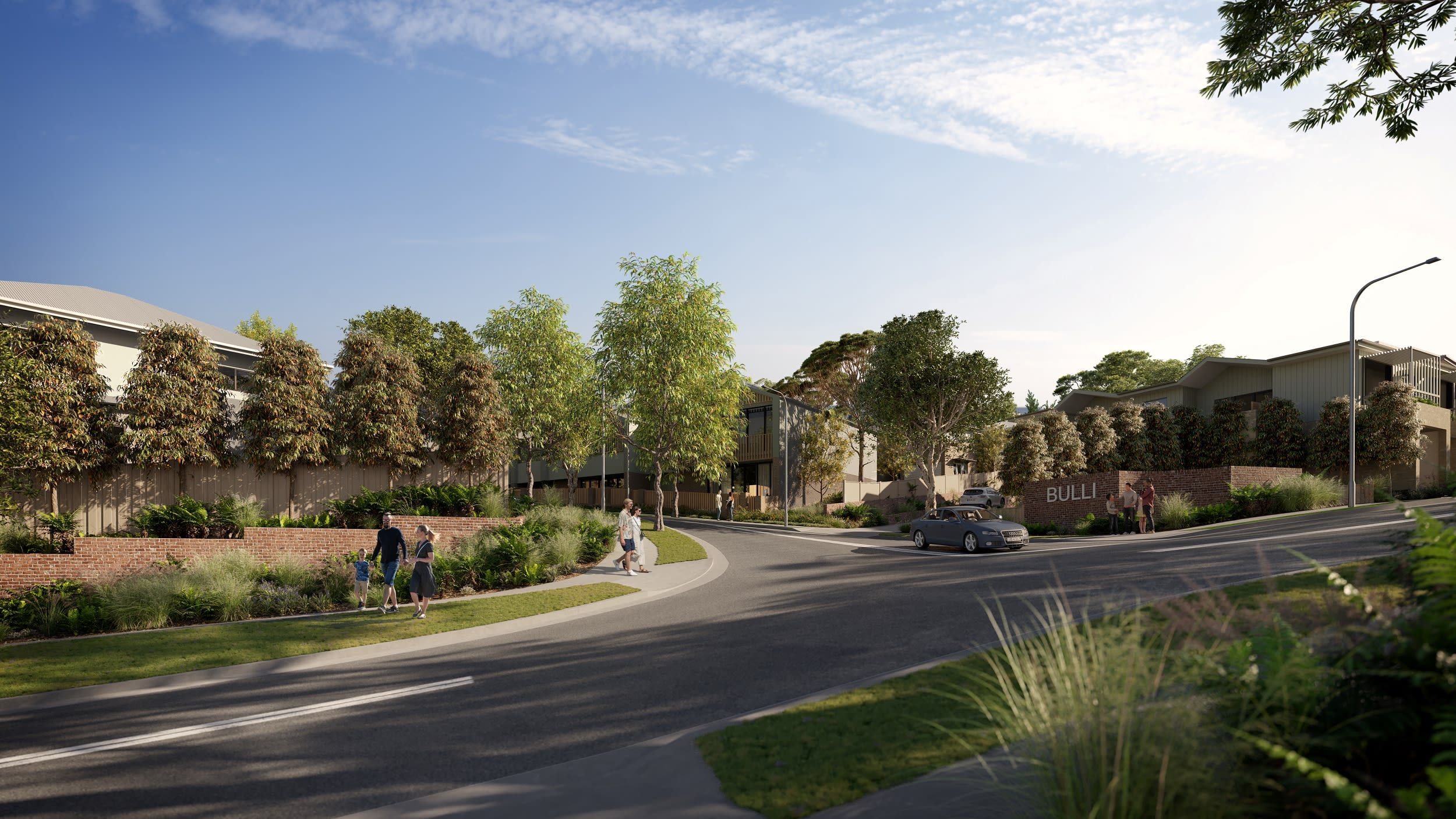
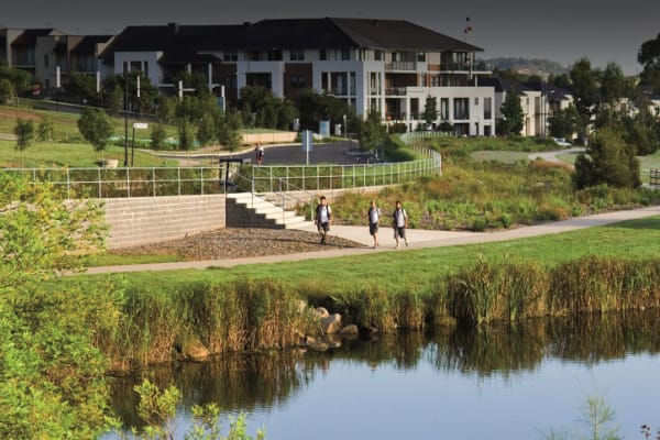
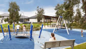
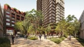
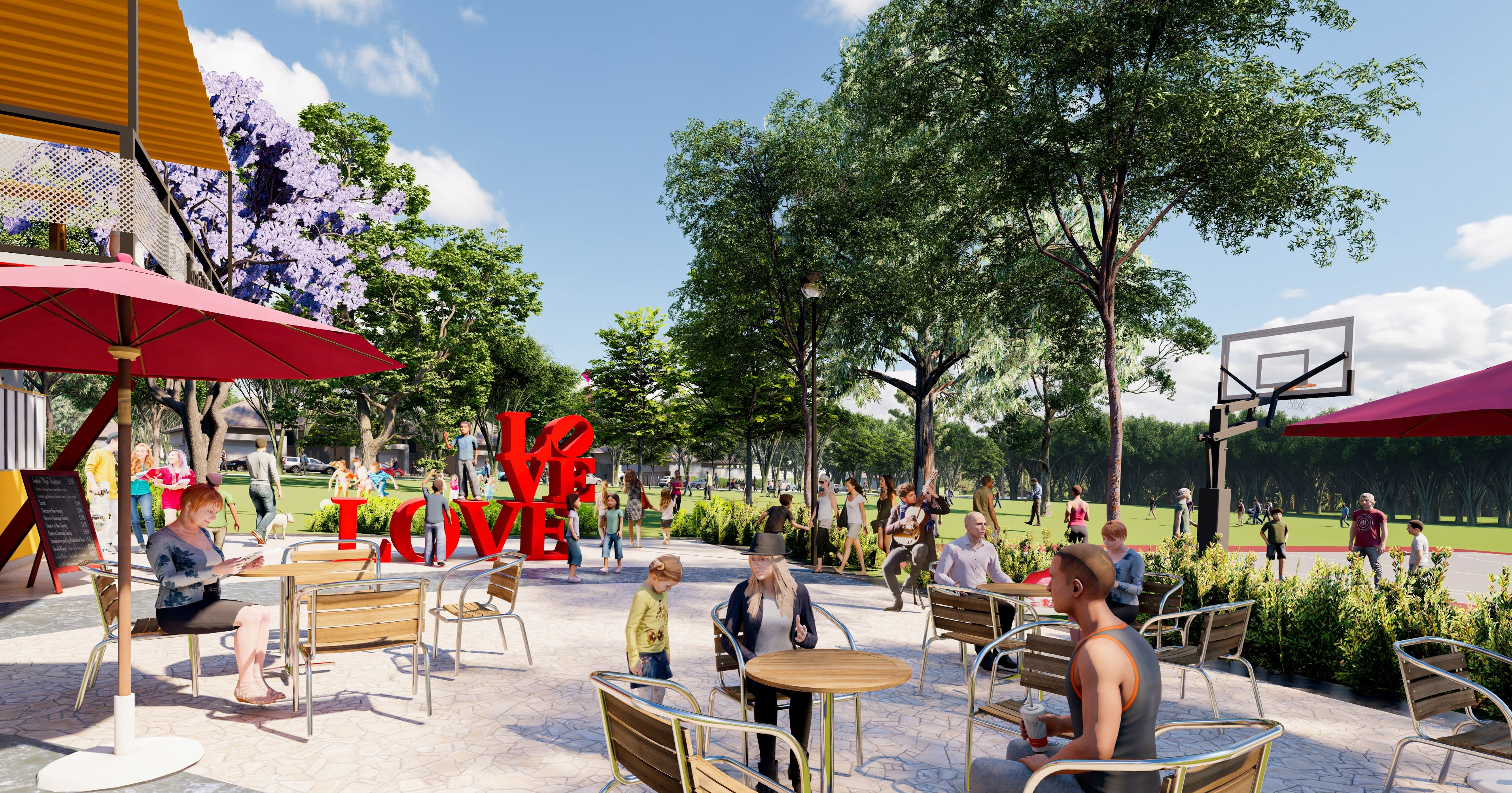
A lively new community in one of Lake Macquarie’s most scenic pockets. Nestled between bushland and the region's iconic lake, Landcom is creating a masterplanned neighbourhood with new homes, parks, pathways and shared spaces that bring people together and keep nature at the heart of daily life.
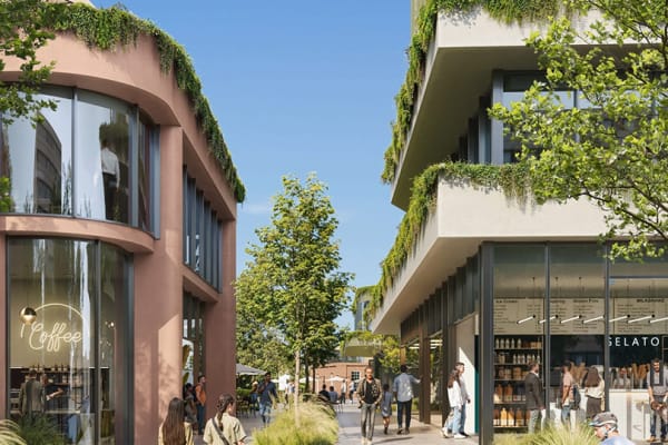
Welcome to Fennell Bay - our proposal brings together a diverse mix of housing, new public spaces and local amenities that meet the needs of the community, laying the groundwork for a connected, inclusive and people-focused new neighbourhood.
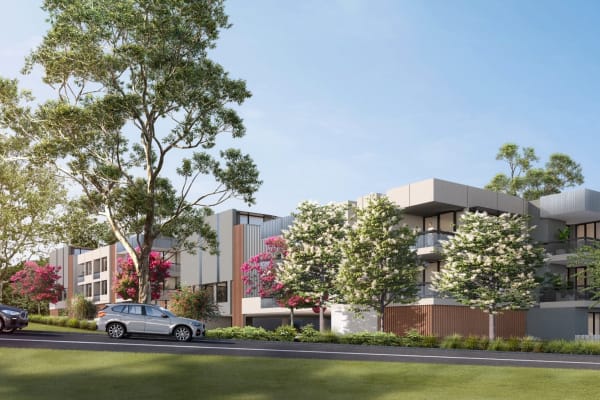
To support different household needs and lifestyles, the community will offer residential lots in a range of sizes, with a minimum of 10% as affordable homes to help more local people find a secure and liveable place to call home.
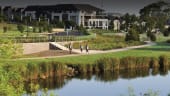
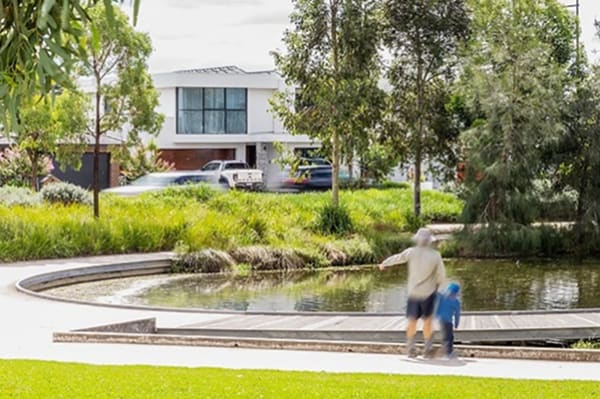
Connection to nature sits at the heart of our plans for Fennell Bay.
Old Main Road, Fennell Bay
A lively new community in one of Lake Macquarie’s most scenic pockets. Nestled between bushland and the region's iconic lake, Landcom is creating a masterplanned neighbourhood with new homes, parks, pathways and shared spaces that bring people together and keep nature at the heart of daily life.
Welcome to Fennell Bay - our proposal brings together a diverse mix of housing, new public spaces and local amenities that meet the needs of the community, laying the groundwork for a connected, inclusive and people-focused new neighbourhood.
To support different household needs and lifestyles, the community will offer residential lots in a range of sizes, with a minimum of 10% as affordable homes to help more local people find a secure and liveable place to call home.
Connection to nature sits at the heart of our plans for Fennell Bay.
Continuing to update technical studies and work with Government agencies to inform the planning proposal.
At Landcom, we’re committed to making more sustainable communities happen, with environmental responsibility at the core of how we plan, design and deliver new neighbourhoods. That means careful planning, collaboration with partners and community, and doing our best to conserve natural places, while creating more diverse homes for more people to live close to the things they value and rely on everyday.
Our plans for Fennell Bay build on this commitment. Our design approach, guided by long-term environmental care, cultural and community wellbeing, respect and enhance the existing bushland by:
Our priority is to use best-practice urban design to help nature flourish, with landscaping providing a healthy home for people, birds, wildlife and community life.

What is the planning and approvals process for the Fennell Bay project?
Landcom is seeking to rezone part of the site to enable new housing, however the majority of the site would be zoned for environmental management and conservation.
Planning proposal to be lodged with Department of Planning, Housing and Infrastructure in 2026.
How is the community being consulted?
We consulted the community in late 2020 and early 2021 and considered key issues raised to refine the masterplan, which informed the planning proposal.
Consultation included an online survey, a call for submissions, focus groups and a meeting with a local environment group. We received 40 email submissions and identified the following key issues for further consideration:
Further consultation is now happening on Tuesday 2 June 2026 at the following locations:
· a pop-up stall at Woodrising Shopping Centre from 12 noon to 2pm and
· a drop-in session at the Booragul Landcare and Sustainable Living Centre from 4.30- 7.30pm.
How is Landcom managing biodiversity at the site?
We have been undertaking studies since 2016 to understand the site’s biodiversity, and we are proposing to conserve the majority of the bushland on the site.
Our planning proposal was assessed against the NSW Biodiversity Assessment Conservation Act 2016, and we are preparing a Biodiversity Certification Assessment Report outlining how we will avoid, minimise and offset impacts on the site’s biodiversity through mitigation measures and ongoing management.
The Biodiversity Certification Assessment Report will be formally exhibited before being assessed by the Department of Planning and Environment.
What bushfire management controls will be put in place at Fennell Bay?
We are working closely with Lake Macquarie City Council and the NSW Rural Fire Service to minimise the bushfire risk to future homes. This has influenced the design of the road network, access to and from the site, and buffers between the bush and residential land.
A Bushfire Assessment Report is being prepared as part of the revised planning proposal to identify bushfire hazards and how to manage and mitigate risks. The assessment will consider:
How is the site’s history and heritage being considered in planning?
The site contains a number of Aboriginal and European heritage items. We are working closely with Lake Macquarie City Council and Heritage NSW to determine the heritage assessment requirements for the project.
Aboriginal heritage
The Awabakal people are the traditional custodians of the land surrounding Lake Macquarie. Consultation with the Aboriginal community has identified a number of Aboriginal heritage relics on the site.
An Aboriginal cultural heritage assessment has been prepared, which investigates how significant the relics are and how to manage them.
We are working with the Aboriginal community to investigate cultural values and opportunities to celebrate the history of the area.
European heritage
The site was previously used for coal mining, similar to large parts of the Hunter region, before the mining leaseholder, Glencore, ceased operations in 2015.
Early investigations have identified relics on site, which are mostly associated with the site’s previous use for coal mining. Where possible, the masterplan avoids these areas.
A historical heritage assessment has been prepared as part of the revised planning proposal, which outlines the significance of heritage relics and how to manage them.
How will traffic and transport be managed?
We prepared a traffic and transport assessment which considers:
The proposal keeps a bushland buffer along the eastern boundary of the development, which would enable Toronto Road to be widened in the future, if needed. It also includes two access points to better manage traffic travelling to and from the site, plus walking and cycling tracks.
What is the Fennell Bay Project?
Landcom is planning a new neighbourhood with new homes, parks, pathways and shared spaces at Fennell Bay. The updated masterplan builds on earlier community feedback from 2020 and reflects changes made in response to what we heard, as well as further technical studies.
Where is the project located?
The project site is located at Fennell Bay, north of the existing suburb and west of Woodrising, on the western side of Lake Macquarie.
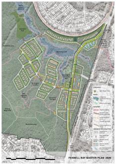
Figure 1: Fennel Bay project site
Why is this project needed?
What is proposed for the site?
Why has the project taken time to progress?
This project has taken time to progress due to Council rezoning and changes to the required Biodiversity Assessment Method. This is the third masterplan for this site, and we understand there may be some scepticism. This version has been shaped by previous community consultation and further technical studies.
What has changed since previous consultation?
How is biodiversity being managed?
Biodiversity has been a key driver of the project’s design. More than 70% of the site is proposed to be conserved as a biodiversity stewardship area. The development footprint has been reduced to avoid sensitive bushland and waterways, with long‑term management proposed to protect these areas over time.
What does it mean that more than 70% of the site will be conserved?
It means most of the site is proposed to be permanently protected as bushland and cannot be developed in the future. These areas are intended to be managed for conservation over the long term. This is one of the biggest differences between the current masterplan and earlier versions of the masterplan.
What will this mean for traffic on Toronto Road and nearby streets?
We heard the feedback about traffic on Toronto Road in 2020. Our revised traffic shows the development adds only minor traffic impacts. The real fix is Transport for NSW upgrading Toronto Road – we’ve set aside land in the masterplan to enable that.
How could nearby residents be affected during construction?
Once Landcom has obtained all approvals required for the development, construction will be managed through detailed planning and construction approvals. This will include consideration of matters such as construction traffic management, hours of work, noise, dust and how nearby residents are kept informed. More detail will be provided before construction begins.
How will my feedback be used?
Feedback from this stage will help Landcom understand what matters most to the community what is important in the neighbourhoods look and feel. It will also be summarised in a public consultation outcomes report so the community can see the key themes raised during consultation and how feedback is being addressed to finalise the plan.
What can I have a say on?
What parts of the project can’t change?
Environmental and planning requirements have already helped shape key elements of the project, so some aspects are not open to feedback:
• the approximate number of dwellings that can be delivered on the site
• key layout and planning parameters needed to support biodiversity, bushfire and servicing requirements
• the location and extent of areas set aside for permanent conservation
• the statutory planning, environmental assessment and future approval processes.
What stage is the project currently at?
We are finalising the masterplan and seeking informal community input to help shape how the neighbourhood will look and fee. After lodging the Planning Proposal and State Significant Development Application with the Department of Planning, Housing and Infrastructure, we will invite the community to provide feedback during formal public exhibition, expected in October 2026.
What happens next?
How do I provide input or feedback?
You can still provide feedback online via the project webpage or by contacting the project team.
When is feedback due?
You can provide feedback up until Tuesday 16 June 2026