


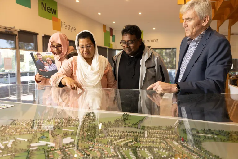

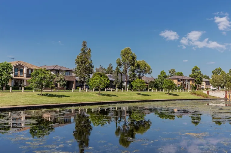
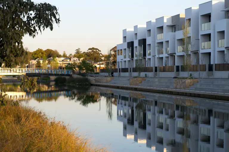


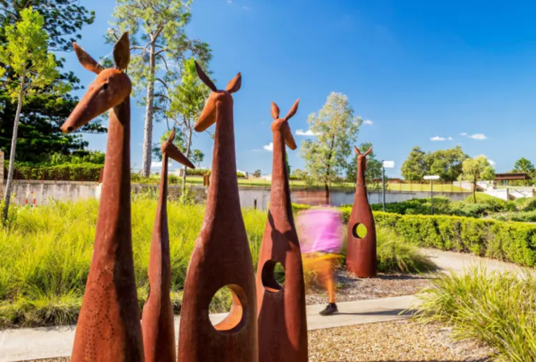

Update on the Myall Road Development (July 2023)
As part of the Federal environmental approval process, Landcom called for public comment on development plans for Myall Road in Hillsborough between Monday 22 May 2023 and Friday 2 June 2023.
In line with our obligations under the Environment Protection and Biodiversity Conservation Act 1999 (the Act), the community was invited to provide comments in writing in relation to Preliminary Documentation and associated material for the proposed development as it relates to Black-eyed Susan (Tetratheca juncea); a native shrub listed as threatened under the Act. During this period noted above, 78 public submissions were received. Submissions received over the weekend (3-4 June) were also considered.
A document summarising the results of public exhibition has been prepared and Preliminary Documentation finalised, with no amendments required following its public exhibition. Documentation will now be assessed by the Department of Climate Change, Energy, the Environment and Water.
See links below to obtain copies of project documentation and to view the formal notification of Publication of final Preliminary Documentation.
- EPBC Referral 2014/7217 Preliminary Documentation (Part 1)
- EPBC Referral 2014/7217 Preliminary Documentation (Part 2)
- EPBC Referral 2014/7217 Preliminary Documentation - Public Submissions Response Summary
Copies of the above documentation can also be viewed at the following locations between 31 July 2023 and 11 August 2023:
- Lake Macquarie City Council - 126-138 Main Road, Speers Point NSW 2284
- State Library of New South Wales - 1 Shakespeare Place, Sydney NSW 2000
Notification of Publication of final Preliminary Documentation: EPBC Referral 2014/7217 - Notice for Public Information
Project Frequently Asked Questions
What was the community being asked to provided comment on?
As part of the environmental approval process, the community was invited to provide comments in writing regarding the impact of the proposal on Black-eyed Susan (Tetratheca juncea).
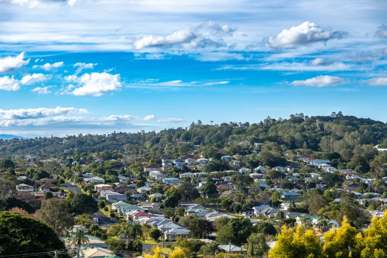
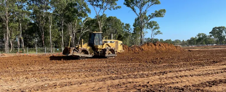
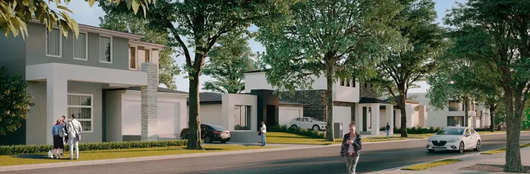
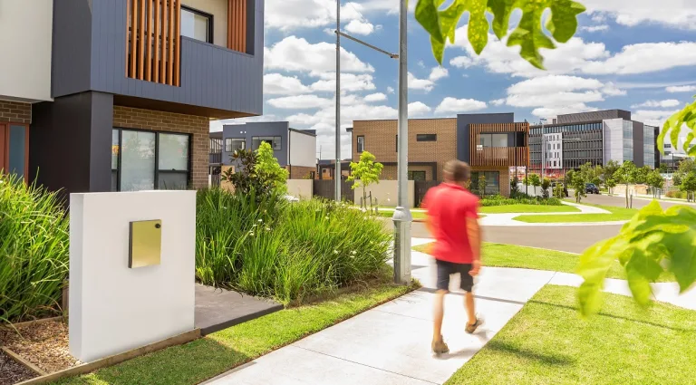
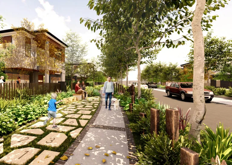
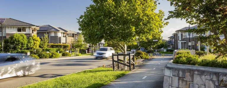
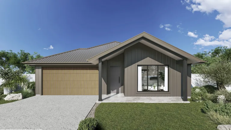
What is being delivered as part of the Myall Road, Hillsborough development?
The project aims to deliver:
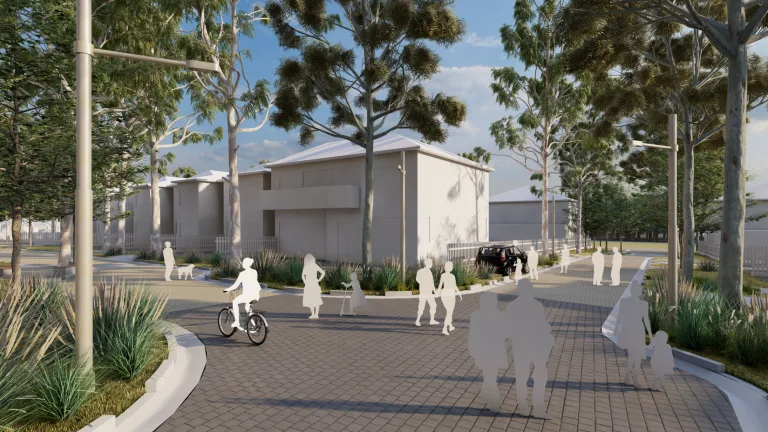
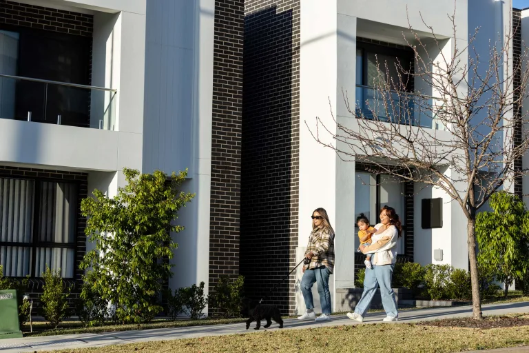
- Approximately 105 dwellings, including 66 freestanding homes. At least 30% of homes will be set aside as affordable housing in the form of “missing middle” housing types such as terraces
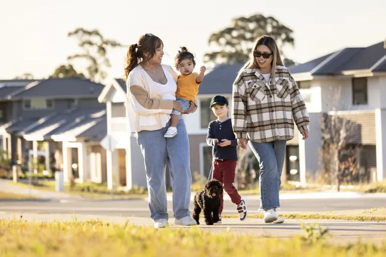
- New footpaths and cycle paths will encourage people to walk or cycle around the new neighbourhood and to nearby destinations including local schools and parks
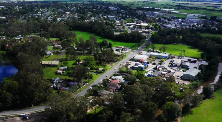
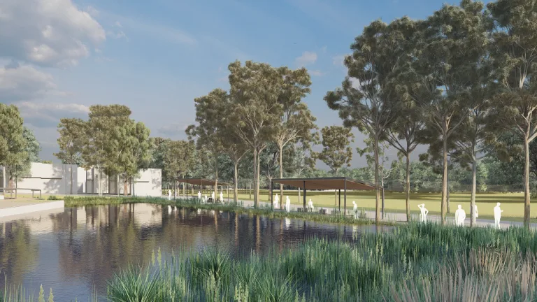
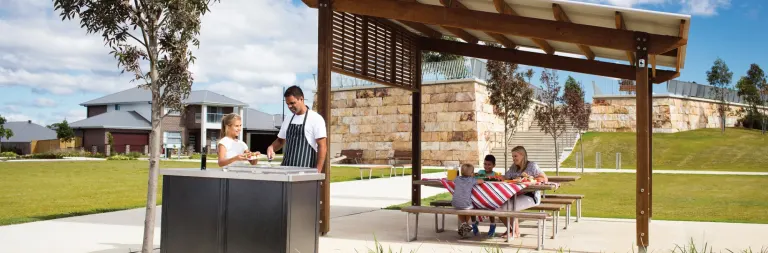
- Around 68% of the site (26 hectares of land), will be conserved and permanently funded, managed and protected as a ‘stewardship site’ in agreement with the Biodiversity and Conservation Division of the NSW Department of Planning and Environment.
What is happening with the project?
Conditional development approval for the project was obtained from the Hunter and Central Coast Joint Regional Planning Panel in late 2020, confirming Landcom had adequately addressed planning requirements. Additional approval is required from the Department of Climate Change, Energy, the Environment and Water as the proposal impacts a threatened species listed under the Environment Protection and Biodiversity Conservation Act 1999.
Landcom has been working with NSW Crown Lands and the NSW Biodiversity Conservation Trust to prepare a bushland management plan and other management strategies for the conservation area which covers 68 percent of the site.
These plans outline how Landcom will rehabilitate and protect the environmental and ecological values of vegetation and habitats during construction and into the future. As part of the planning process, three separate biodiversity assessments and several in-depth site investigations were carried out. These found no significant impact is likely to vulnerable flora and fauna with suitable mitigation measures in place. We are continuing to work with NSW Crown Lands and the NSW Biodiversity Conservation Trust to progress biodiversity impact mitigation measures for the project.
More information will be shared with the community as it becomes available.